The Addition Neighborhood

Burlington Daily Free Press, February 28, 1893

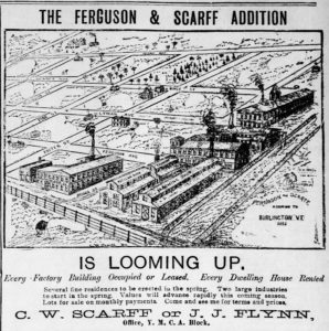
South of the Five Sisters neighborhood lies “The Addition”—quite literally, an addition to the city of Burlington’s residential options at the turn of the twentieth century. Formerly a 100-acre farm operated by the Foster family, it was acquired by Charles W. Scarff, a real estate businessman, and A.O. and C.F. Ferguson, who were ice and milk dealers, in the late 1880s. Two of the eighteen city blocks of the land fronted the railroad tracks. The partnership encouraged manufacturing businesses to build along this section, with the perk of employee housing a short walk away. Ferguson & Scarff sold lots to individual homeowners, developers, and prospective landlords.

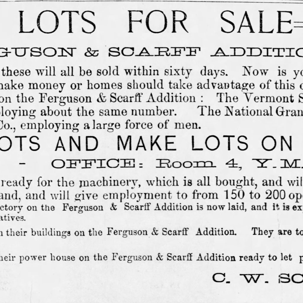
Good Lots for Sale

To attract businesses to the western border of the neighborhood, Ferguson & Scarff emphasized the walkability of this neighborhood to the industrial zone of the city.

Burlington Free Press, June 15, 1891

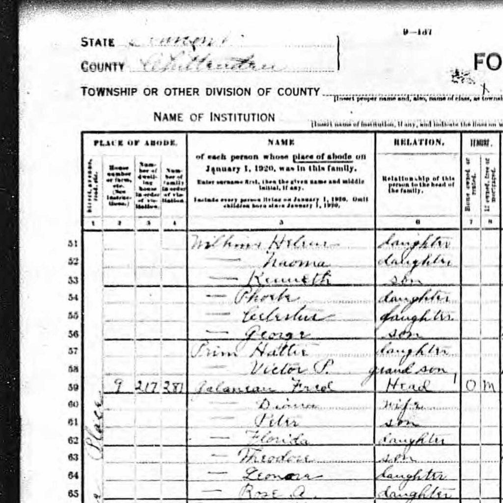
1920 Residents of the Addition

The 1920 Census shows a high percentage of French Canadians working as laborers at the Queen City Cotton Company, the Vermont Milk Chocolate Company, and other industry nearby.

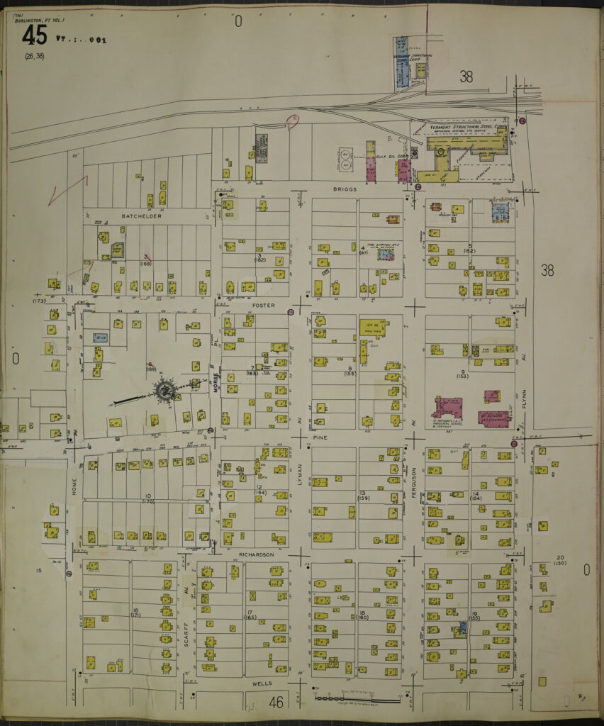
The Addition Neighborhood 1942

The Addition neighborhood  developed from the northeast corner to the southwest corner, with Shelburne Street and Flynn Avenue the first to be fully built. This explains why the houses in the upper east quadrant date from the 1920s and 1930s, while those in the lower west quadrant date post World War II.

Sanborn Insurance Map 1942
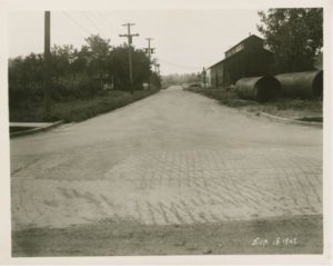
Briggs Street looking south from Flynn Avenue with Vermont Structural Steel on the right, 1942. The developers marketed the Addition as a convenient neighborhood for workers at factories nearby. Courtesy of McAllister Collection, University of Vermont Special Collections.


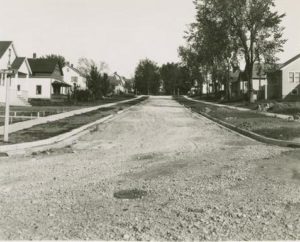
Scarff Avenue looking east toward Wells from Richardson, undated. Courtesy of McAllister Collection, University of Vermont Special Collections.


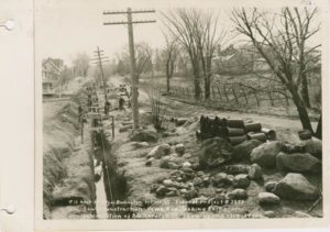
Home Avenue looking east from Richardson St., 1934. Development was still sparse on this street more than thirty years after the neighborhood was laid out. Courtesy of McAllister Collection, University of Vermont Special Collections.


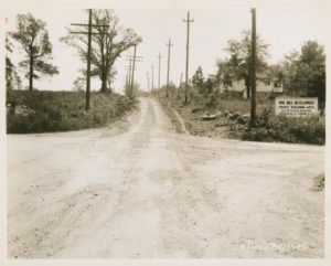
Pine Hill Development, from the intersection of Morse Place looking south toward Home Ave., June 30, 1942. The sign on the right says “Pine Hill Development/Choice Building Lots/H.C. Petersen Realtor/76 Church St./Phone 643.” Courtesy of McAllister Collection, University of Vermont Special Collections.